A series of Pacific storms will bring a mix of frozen wintry
precipitation to much of the region tonight into Friday. Another
round of frozen wintery precipitation will spread across portions
of the region Friday night into Saturday.

With the next storm arriving Friday night, there is high potential
for significant ice accumulations in the Coast Range, Willapa
Hills and across the Central Willamette Valley and perhaps across
the southern Portland metro. There is also high potential of
significant snowfall for inland areas from Cowlitz River Valley to
the Portland/Vancouver metro area, and areas to the east through
the Columbia River Gorge and Hood River Valley.
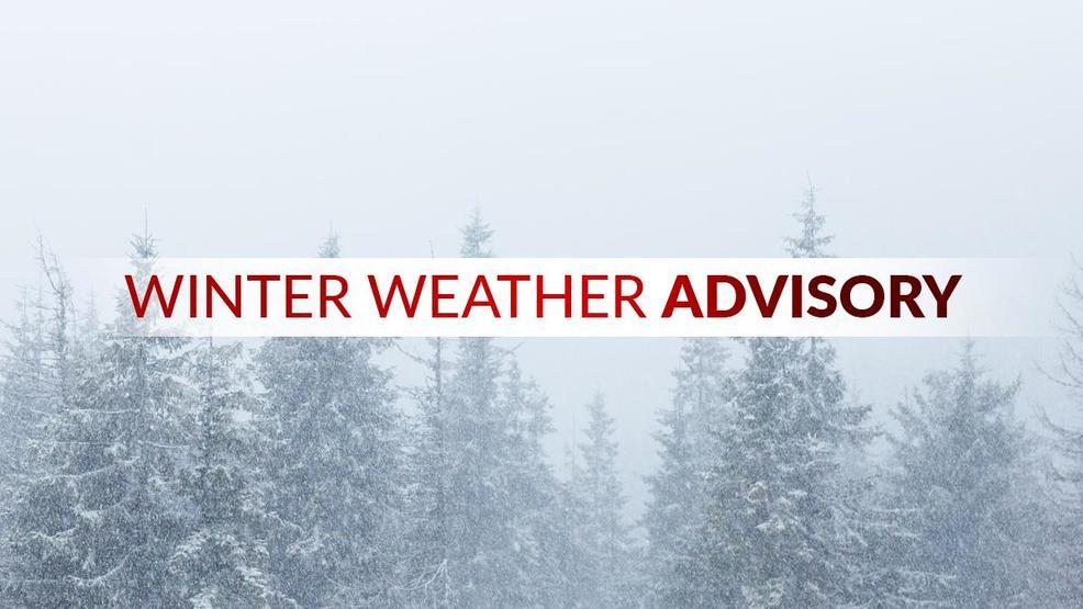
THE WINTER WEATHER ADVISORY REMAINS IN EFFECT UNTIL NOON PST
FRIDAY.

* WHAT...Mixed precipitation expected. Rain will become snow and
  freezing rain west and north of Salem in the evening. Any snow
  and/or freezing rain should be minimal to the south and east of
  Salem. Total snow accumulations up to 2 inches and ice
  accumulations of one to two tenths of an inch are possible.
  Heaviest ice and snow accumulations will be to the west and
  north of Salem.

* WHERE...Central Willamette Valley.

* WHEN...From 4 PM this afternoon to noon PST Friday.

* IMPACTS...Travel could be challenging at times.

PRECAUTIONARY/PREPAREDNESS ACTIONS...

Slow down and use caution while traveling.

The latest road conditions for the state you are calling from can
be obtained by calling 5 1 1.