|...POTENTIAL FOR FLOODING MONDAY THROUGH FRIDAY ALONG CREEKS AND
RIVERS IN NORTHWEST OREGON AND SOUTHWEST WASHINGTON...
Rain will begin Sunday afternoon, with periods of heavy rain
possible through the week as a series of strong storms moves through
the Pacific Northwest. Precipitation totals for the coming week
(Sunday through Friday) will be on the order of 5 to 8 inches for
the Coast Range and Cascade foothills, 3 to 5 inches along the
coast, and 2 to 4 inches for inland valleys.
Snow levels will range from 2000 to 4000 feet Sunday through
Wednesday and then may be a little higher later in the week. These
snow levels are lower than the typical scenario that leads to
flooding, and areas in the high Cascades will continue to get snow
for most of the week. However, snowmelt at lower elevations in the
Coast Range and Cascade foothills will contribute to increasing
streamflow through the week.
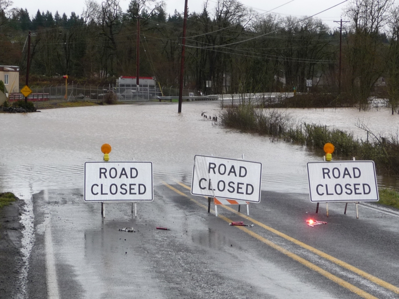
The combination of saturated soils, heavy rain, and some snowmelt
will lead to sharp rises on several creeks and rivers.
Faster-responding rivers will rise sharply Monday but are unlikely
to reach flood stage with the first round of rain. However,
additional rises are expected Tuesday and Wednesday, and most rivers
will keep rising, with flooding possible through the week.
While confidence is high it will be a wet and stormy week, the
details of the rainfall timing and amounts and the specifics of
which watersheds will be most affects remains uncertain.
Monitor weather and river forecasts closely. If the threat of
flooding affects you, this is a great time to review your action
plan in case flooding occurs.
We will update this outlook by 3 pm PST Sunday afternoon at the
latest.
$$