An atmospheric river will bring abundant moisture to southwest Washington and northwest Oregon Wednesday through Thursday as a frontal system slowly moves across the region. Latest model guidance has increased the rainfall potential, with 1 to 2 inches of rain expected for the interior lowlands, 1.5 to 3 inches for the coast, and 2 to 5 inches for the Willapa Hills, Coast Range and Cascades. The heaviest rain in the Cascades will likely occur between Mt. St. Helens in Washington and Mt. Jefferson in Oregon. The timing of the heaviest rain will likely be Wednesday night and Thursday morning.
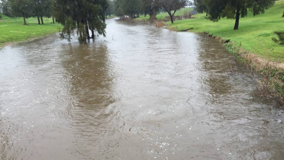
The main concern with this event is the potential for urban flooding in areas of poor drainage. Officials and property owners should do what they can to clear storm drains of fallen leaves before the rain arrives Wednesday. Minor flooding of a few small streams is possible, but flooding of rivers and larger creeks is unlikely.
After a brief break Thursday night, the next front and atmospheric river are expected arrive later Friday. Latest indications are that rainfall will not be as heavy with this second system, but forecast amounts are more uncertain.
Stay tuned to weather.gov/portland for the latest forecast and warning information. This product will be updated by 4 PM Wednesday.


