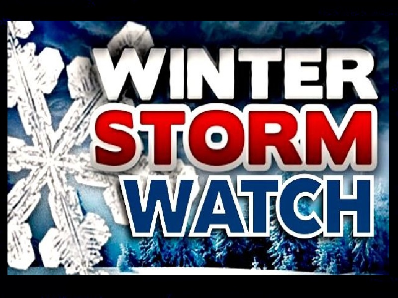
* WHAT…Heavy snow possible. Total snow accumulations between 10 to 18 inches possible. Winds could gust as high as 35 mph.
* WHERE…Northern and Central Oregon Cascades.
* WHEN…From late Tuesday night through Thursday afternoon.
* IMPACTS…Roads, and especially bridges and overpasses, will likely become slick and hazardous.
* ADDITIONAL DETAILS…Latest guidance suggests the heaviest snow accumulations are forecast over the Cascades from Marion to Lane Counties. There is a 50-75% chance snowfall rates will occasionally exceed 1 inch/hour along the Cascade passes between 4 PM Wednesday and 8 AM Thursday, resulting in hazardous travel conditions due to a combination of low visibilities and accumulating snow.
PRECAUTIONARY/PREPAREDNESS ACTIONS…
Winterize your vehicle and have a winter emergency driving kit readily available. Make sure your emergency kit has the following items: flashlights, batteries, blankets, a shovel, water,
non-perishable food items, tire chains, etc.
Now is a good time to put snow tires on your vehicle.
Check on friends and family to see if they need help preparing.
Monitor the latest forecasts and warnings for updates on this
situation.