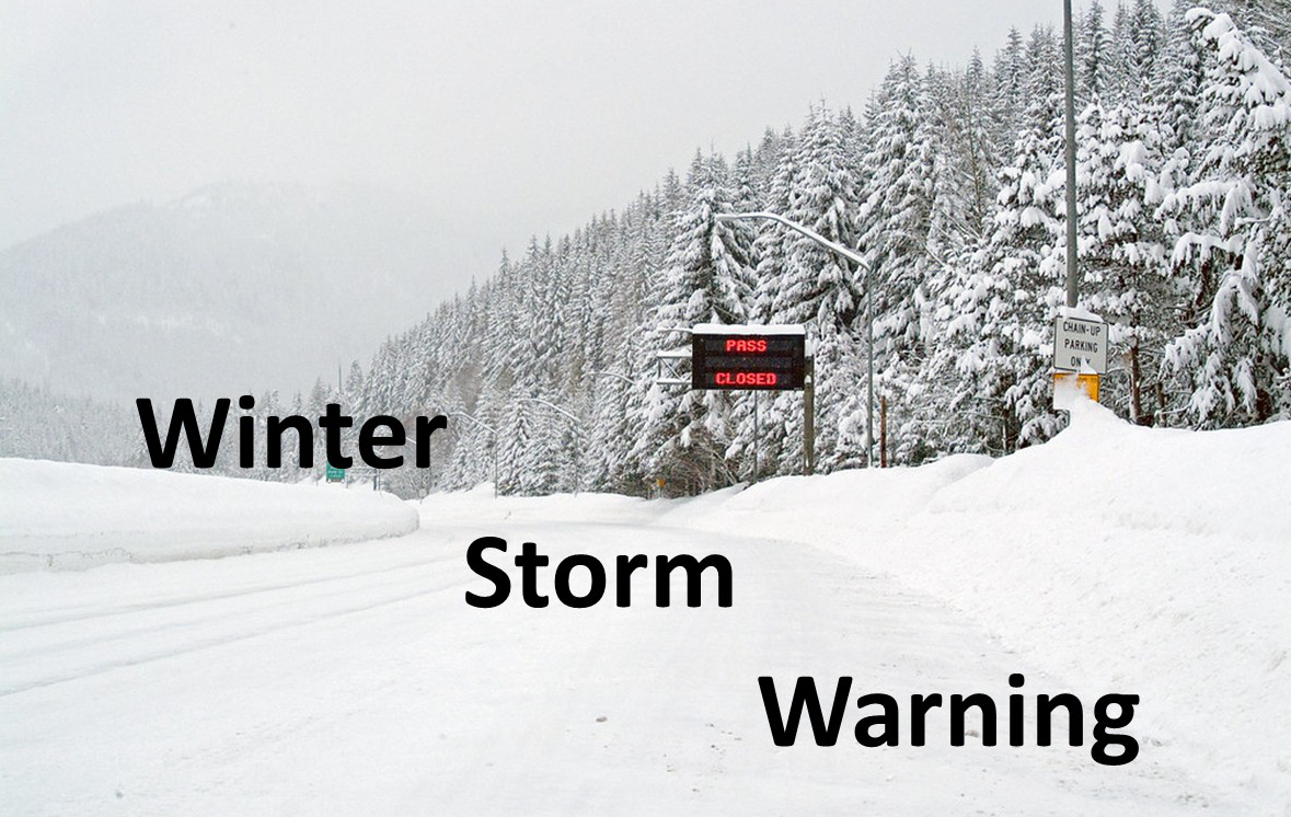
* WHAT...Heavy snow above 2500 ft. Total snow accumulations between 12 to 20 inches. Winds could gust as high as 45 mph.

* WHERE...South Washington Cascades and the Northern and Central Cascades of Oregon.

* WHEN...From 5 PM Tuesday to 5 AM PDT Thursday.

* IMPACTS...Roads, and especially bridges and overpasses, will likely become slick and hazardous.

* ADDITIONAL DETAILS...Latest guidance suggests the heaviest snow accumulations are forecast over the Cascades from Marion to Lane
  Counties.

PRECAUTIONARY/PREPAREDNESS ACTIONS...

Consider postponing travel until weather conditions improve.

If you must travel, be sure to slow down and allow extra time.

If your car becomes trapped in deep snow, be sure to keep your car off to stay safe from potential carbon monoxide poisoning.

If you are using a generator, be sure to keep it outdoors and away from windows and vents.

Be aware that walking surfaces may be slick. Walk with extra care.

Backcountry recreation is not advised.


For more information from the National Weather Service visit
www.weather.gov/portland